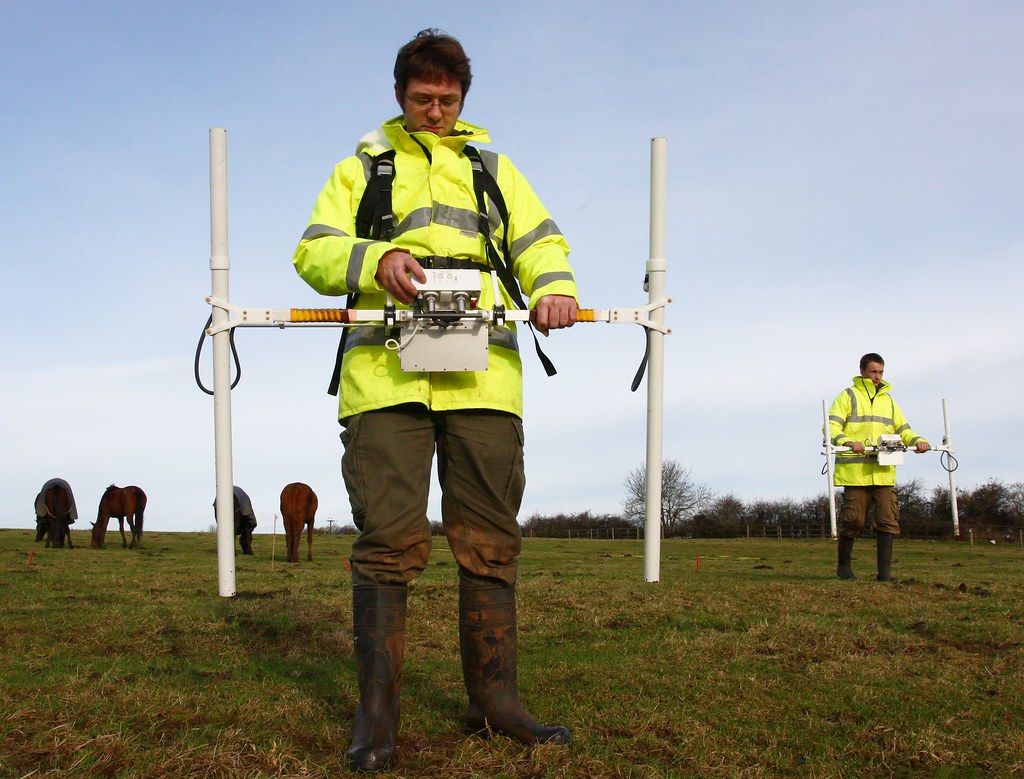
A geophysical survey is a method of investigating the Earth’s subsurface by measuring and analyzing physical properties like electrical resistivity, seismic wave velocity, magnetic susceptibility, and electromagnetic conductivity
Seismic Refraction Test (SRT) using specialized equipment imported from PASI Geophysics, Italy
Down-Hole Seismic test (DHST) using customized equipment from Olson Engineering, U.S.A.
Cross-Hole Seismic test (CHST) using customized equipment from Olson Engineering, U.S.A.
Spectral Analysis of Surface Waves (SASW)
Multi-Channel Analysis of Surface Waves (MASW)
Parallel Seismic Test using customized equipment imported from Olson Engineering, U.S.A.
Electrical resistivity imaging (ERI) and tomography
Ground-penetrating radar (GPR)
Strategy
Analytics
Result
These surveys are used to map geological structures, locate resources (like minerals and groundwater), and assess potential hazards. They are non-destructive, meaning they don’t require excavation to gather information.
At vero eos et accusamus et iusto odio dignissimos ducimus qui blanditiis praesentium voluptatum deleniti atque corrupti quos dolores et quas molestias data.